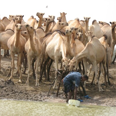
Mapping emission sources and conflict hotspots for integrated solutions in Kenya
Abstract
As the impact of climate change increases, it is vital to implement integrated solutions to address the heightened security risks associated with it. Kenya's economy is heavily reliant on the agricultural sector, which also represents the largest source of greenhouse gas (GHG) emissions, particularly in the livestock industry. The sector's vulnerability to climate shocks and long-term changes places additional pressure on Kenya's food security, pushing already vulnerable lands into crisis. Furthermore, the vulnerable arid and semi-arid lands of Kenya are particularly susceptible to conflict, which is further exacerbated by resource constraints due to climate change. Given the finite nature of government resources, it is crucial to identify areas where integrated interventions can deliver on multiple objectives, including improving food security and reducing resource-use conflicts, while simultaneously contributing to climate change mitigation and development goals. By employing spatial analysis to map emission sources and hotspots of conflicts, we have identified 20 wards, primarily situated in Baringo, Samburu, and Elgeyo-Marakwet counties, which can be strategically prioritized to promote a harmonized approach to climate action and conflict management. Interventions in these issues will be in line with Kenyan policy frameworks to achieve low-carbon, climate-resilient economic development.
Citation
Gutierrez Zapata, D.M.; Sosa, C.C.; Ewell, H.; Shikuku, K.M.; Ochenje, I.; Cramer, L.; Sylvester, J.; Castro Nunez, A. (2024) Mapping emission sources and conflict hotspots for integrated solutions in Kenya. 22 p.


