


.")
Can we accurately map soil health from space, or do we still need to get our hands dirty?
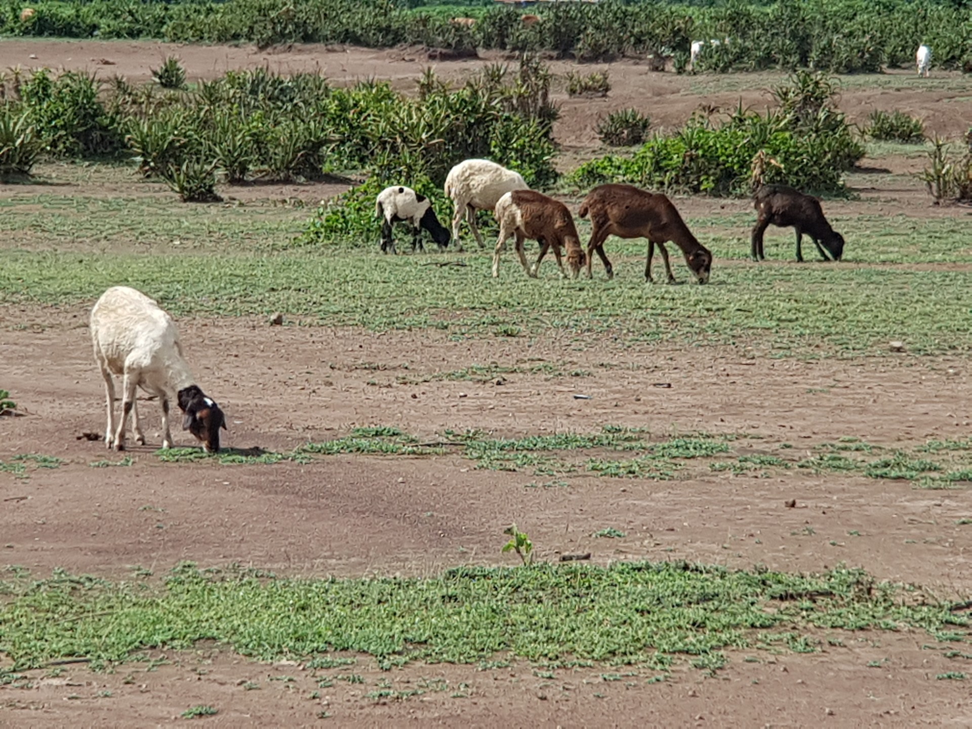
In the fight against climate change and food insecurity, soil is one of our most important allies. Grasslands and savannas cover more than half of sub-Saharan Africa’s surface. They support around 40% of the continent’s livestock, underpin the food security of hundreds of millions of people, and store more carbon than all of Africa’s forests combined. Yet, they are disappearing quietly and faster than most people realize.
Across sub-Saharan Africa, soil degradation isn't just an environmental statistic; it is a direct threat to the livelihoods of millions of smallholder farmers and pastoralists. While much of the global research focus has been on the visible decline of croplands, the vast grasslands that support livestock and store massive amounts of carbon are often overlooked.
In the fight against land degradation, which is accelerating across sub-Saharan Africa, it’s not always easy to know where to start. There is not even a uniform definition of what “degradation” actually means or what a degraded grassland looks like on the ground. This is what our study wanted to answer.
In our recently published paper in the journal “SOIL”, we took a closer look at the tropical grasslands of western Kenya, specifically in Nyando (Kisumu County) and Kuresoi (Nakuru County). Our goal was to answer a high-stakes question for modern conservation: can we accurately map soil health from space using satellites, or do we still need to get our hands dirty to get the real story?
The challenge: Remote sensing vs. reality
Remote sensing is a powerful tool for environmental science. It allows us to monitor huge areas of land cost-effectively by measuring vegetation greenness and moisture from space. By analyzing data from 2013 to 2018, we classified various grassland sites into three categories: equilibrium (stable), transition, or degraded.
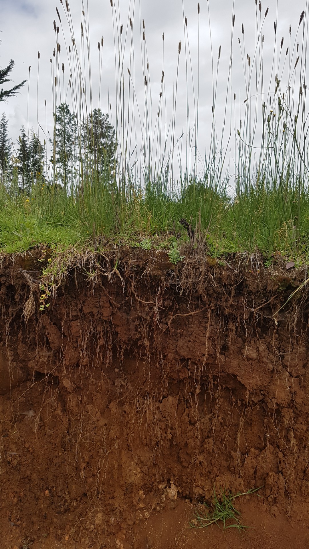
However, soil is a complex, living system. A satellite might see a patch of green from miles above, but that doesn't always tell us what is happening with the chemistry and biology underneath the surface. We wanted to see if these satellite descriptions actually matched the physical and chemical reality of the soil. To find out, our team sampled 90 different sites to bridge the gap between satellite data and ground-level truth.
What the soil told us
Our research revealed a nuanced story. While satellite classifications are a fantastic starting point, they don't always align perfectly with the nutrient levels in the ground. Here is what we discovered:
- The microbial connection: Interestingly, soil microbial biomass carbon (a measure of the living organisms in the soil) was the only variable that consistently matched the satellite classifications across both study regions. This suggests that soil microbial growth responds to land degradation, and this is closely tied to what satellites see from above.
- A tale of two landscapes: The relationship between satellites results and soil measurements varied by location. In Kuresoi, the satellite data aligned well with nitrogen, phosphorus, and pH levels. However, in Nyando, healthy sites (at equilibrium) were characterized by high carbon and phosphorus levels but lower pH and bulk density. The same satellite signal can mean different things in different places.
Stable vs. transient indicators: We found that not all soil properties are equally useful for tracking long-term health. Stable soil variables (those that don't change overnight, like soil texture or pH) are often more reliable indicators of long-term health than transient variables (like plant-available nutrients or microbial enzymes) that fluctuate with the seasons and can be misleading if you only measure them at one point in time. For monitoring purposes, the stable indicators are the ones worth anchoring to.
Why this matters for the future
The takeaway for land managers, NGOs, and policymakers is clear: satellites are a great first step, but they aren't a silver bullet. To truly understand land degradation, we need a hybrid approach.
By combining large-scale remote sensing with a targeted set of "boots-on-the-ground" soil tests that focus on a set of indicator parameters (microbial biomass, total carbon, nitrogen, phosphorus, and pH), we can create much more accurate maps of where our soils are thriving and where they are failing to better target restoration efforts.
In sub-Saharan Africa, where an estimated 65% of productive land is already degraded and the people most affected are often the least able to absorb the losses, that precision matters. Getting restoration wrong — targeting the wrong land, using the wrong approach — wastes money and time that communities don't have.
For the communities in western Kenya, these insights are more than academic. Grassland degradation shows up in thinner cattle, smaller harvests, and rivers running brown with eroded topsoil. By identifying transition zones before they become fully degraded, we have a critical window of opportunity to intervene. Restoring these grasslands doesn't just protect the soil. It secures the future of the people who depend on it.
You can read the full paper in SOIL here: https://soil.copernicus.org/articles/12/451/2026/

 Training")
